Inhalt:
...
| Properties | ||||||||||
|---|---|---|---|---|---|---|---|---|---|---|
| API Key | For some charts a API Key from Goofle is nessesary. You can get a key here: https://developers.google.com/maps/documentation/javascript/get-api-key
| |||||||||
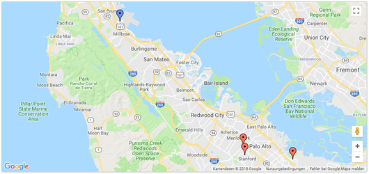
| MapType | Color to assign to regions with no associated dataThe type of map to show. Possible values are 'normal', 'terrain', 'satellite', 'hybrid', or the ID of a custom map type, if any were created.
| |||||||||
ShowInfoWindowThe color to use when for data points in a geochart when the location (e.g., 'US' ) is present but the value is either null or unspecified. This is distinct from datalessRegionColor, which is the color used when data is missing. | If set to true, shows the location description in a separate window when a point marker is selected by the user.
| |||||||||
| ShowLine Which type of geochart this is. The DataTable format must match the value specified. The following values are supported: | If set to true, shows a Google Maps polyline through all the points.
| |||||||||
| ShowTooltip | The opacity of the markers, where 0.0 is fully transparent and 1.0 is fully opaque If set to true, shows the location description as a tooltip when the mouse is positioned above a point marker. This option used to be called
| |||||||||
| UseMapTypeControl | The resolution of the geochart borders. Choose one of the following values: Show a map type selector that enables the viewer to switch between [map, satellite, hybrid, terrain]. When useMapTypeControl is false (default) no selector is presented and the type is determined by the mapType option.
| |||||||||
| ZoomLevel | If true, when the user lingers over a cluttered marker, a magnifiying glass will be opened. Note: this feature is not supported in browsers that do not support SVG, i.e. Internet Explorer version 8 or earlier.An integer indicating the initial zoom level of the map, where 0 is completely zoomed out (whole world) and 19 is the maximum zoom level. (See "Zoom Levels" in the Google Maps API.)
| |||||||||
| EnableScrollWheel | If set to true, enables zooming in and out using the mouse scroll wheel.
|